Simulation & Analysis Solutions
- Simulate your intended missions and communicate the results with reports, graphs, and stunning 3D animations
- Application area spans across Aerospace, Defence, Telecommunications and other industries/
Space situational awareness
- We provide you the capabilities to monitor, analyse and predict the space situations.
- We facilitate you with state-of-the-art algorithms and infrastructure
- Helping you predict and prevent collisions between space objects, predict atmospheric re-entry, monitor spacecraft behaviour and detect threats to spacecraft.
Persistent Surveillance/ COP/DSS
- Emphasizes the ability of an ISR system to linger on demand in an area to detect, locate, characterize, identify, track and target
- We also provide provide battle damage assessment and retargeting in near or real-time, successful communications needed for both command and control and dissemination of large amounts of sensor data.
UTM
- We offer a robust, enterprise ready solution poised to address the challenges faced by air navigation service providers today
- Our we provide best in class flight safety analysis and risk assessment tools necessary for unmanned operations.
Simulation & Analysis Solutions
STK
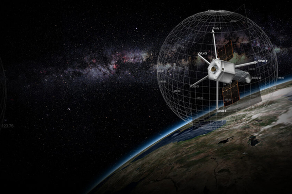
Systems Tool Kit (STK), originally from AGI and now part of Synopsys through Ansys, is a powerful software platform for modeling, analyzing, and visualizing complex missions in land, sea, air, and space domains. It enables engineers and mission planners to simulate trajectories, assess system performance, model sensors, and visualize real-time operations in interactive 2D/3D environments. STK helps reduce risk, optimize mission design, and improve decision-making for aerospace and defense applications.
ODTK
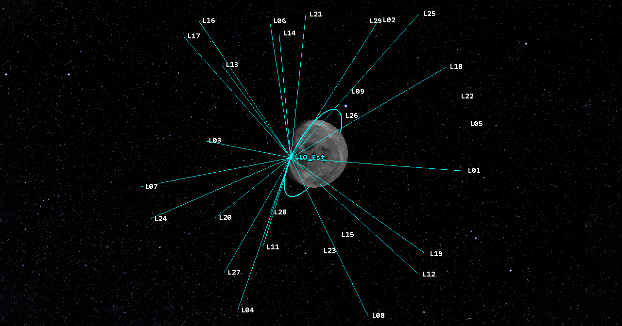
Orbit Determination Tool Kit (ODTK) is a specialized software suite for precise orbit determination and tracking analysis. It processes satellite tracking data, estimates trajectories, and evaluates uncertainties with high accuracy. ODTK supports mission planning and operations by enhancing reliability, improving situational awareness, and enabling confident decision-making in space missions.
Cesium
We partner with Cesium, the creators of the leading open-source JavaScript library for world-class 3D globes and maps. Cesium enables seamless, plugin-free visualization across platforms, browsers, and devices, empowering interactive and real-time geospatial experiences.
Space Situational Awareness
SSA Software Suite
Our Space Domain Awareness Solutions
-
ComSpOC – SSA Software Suite: Provides global space situational awareness with automated orbit estimation, catalog management, and tools for commanders, operators, and analysts.
-
Telescopes: Optimized optical systems with advanced detector readout techniques to maximize signal-to-noise ratio, backed by a proprietary database of global telescope designs.
-
Deep Space Radars (Coming Soon): Long-range radar systems designed to track and monitor objects in deep space with high precision for SSA and defense missions.
-
Phased Array Radars (Coming Soon): Advanced radar technology enabling real-time beam steering, multi-target tracking, and wide-area coverage for dynamic mission environments.
-
Passive RF Terminals (Coming Soon): Radio-frequency sensing systems that provide passive, non-emitting space object detection for resilient and stealthy SSA operations.
Persistent Surveillance/ COP/DSS
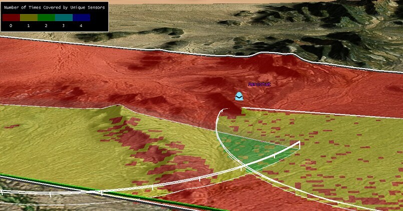
We partner with ComSpOC, AGI (An Ansys Company), and Ursa Space to deliver Global Security solutions powered by persistent surveillance and Common Operational Picture (COP) capabilities. Our strength lies in providing accurate insights through change detection in Maritime Domain Awareness, Environmental Monitoring, Radar Fusion, and Imagery Services.
By leveraging data from diverse sensors — SAR, EO/IR, RF, Hyperspectral, and Multispectral — we enable multi-sensor data fusion to detect and analyze changes anywhere in the world. Combined with our extensive satellite network, we supplement existing systems and ensure comprehensive, reliable coverage of critical locations.
UTM
UAS Traffic Management Systems
We partner with OneSky to deliver high-fidelity analysis that supports CONOPs development, mission design, system testing, and flight analysis — ultimately enabling advanced UAS operations. By working closely with OEMs and operators, we help ensure safe and seamless access to the airspace while harmonizing the skies. OneSky’s industry-leading dynamic analytics empower both commercial and civil Unmanned Aerial Systems (UAS) and Urban Air Mobility (UAM) markets.

